Site Stability Monitoring
Any height changes due to the local site will introduce errors in geodetic results. Such changes are regulalrly monitored at the SGF as part of a ongoing digital levelling campaign.
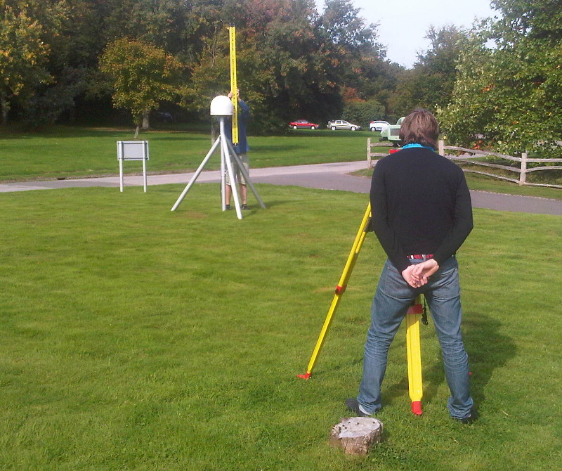
In order to monitor potential instability in the immediate local site surrounding the SGF a campaign of digital levelling began in 2010 to measure at intervals of a few weeks the relative heights of a series of monuments.
The levelling run uses a Leica DNA03, with instrumental accuracy of 0.3mm. It begins in the site basement on an absolute gravimetry pier and in steps of a few metres to several 10s of metres it then includes the SLR pillar (which is estimated to reach more than 10 metres deep in to the ground), several points on the HERS monument, and points on the HERO, HERQ and HERT GNSS sites. In total 22 site heights are measured within approximately two hours.
From the two years of data accumulated to date, well-defined annual height variations of magnitude ±0.5mm have been discovered between certain monuments.
Of particular interest is a 7m tall latticed mast made from hot rolled steel that holds the HERS GNSS site, which has a lower and an upper levelling monument. Monitoring the SGF site has so far shown that the monuments are reasonably stable realtive to each other at the few mm level on the timescale observed.