Global Navigation Satellite Systems
The GNSS reference sites are part of a global network, providing an independent geodetic technique co-located on the SGF site.
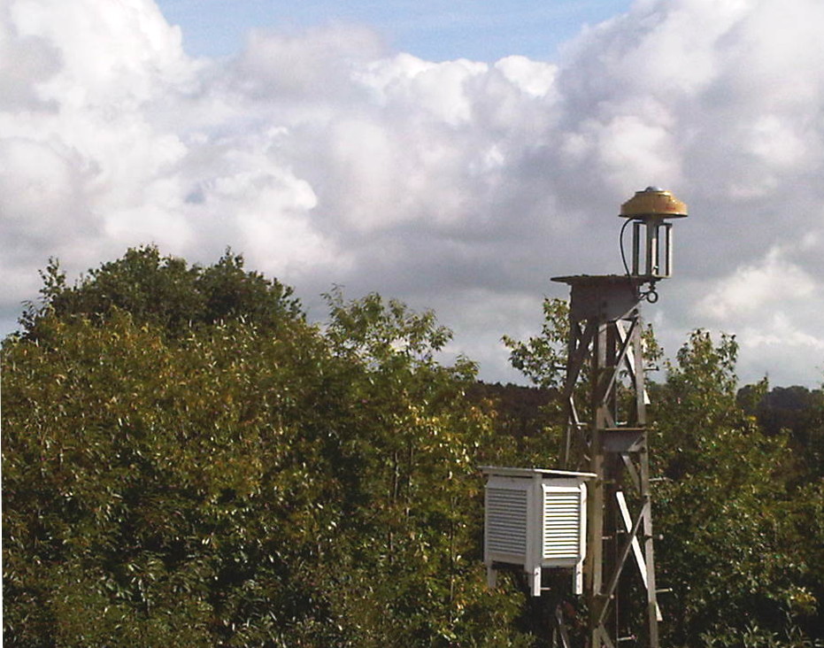
The facility operates two International GNSS Service (IGS) GNSS reference sites, HERS and HERT, which continually track the GPS and GLONASS satellites visible in the sky over the SGF throughout the day. The HERS site uses a Septentrio PolaRx3 receiver and a Leica AR25 antenna. HERT uses a LEICA GRX1200GGPRO receiver with a Leica AT 504 GG choke ring antenna.
This data is submitted to the IGS and used along with data from sites around the world to calculate site coordinates, satellite orbits, clock offsets and Earth orientation parameters. The receivers operate independently and reliably but are monitored each day.
The SGF GNSS data is also archived and made available through the NERC-funded British Isles continuous GNSS Facility (BIGF). In addition, HERT is also a EUREF Real-Time data-provider, streaming data directly into the internet for real-time navigational applications.
A third GNSS site is hosted at the SGF which is an Ordnance Survey (OS) GeoNet 'zero-order' GNSS reference station, named HERO. 12 of these sites are now established in the British Isles and GeoNet is set to become the new definition of ETRS89 for the UK.