Supporting Satellite Science
Satellites observe the Earth on a global level and take measurements to help improve our understanding of the dynamic processes at work.
Natural disasters, mass transport, ice sheet melting, ocean currents, climate change and the Earth's orientation in space are all studied using data gained from satellite technology.
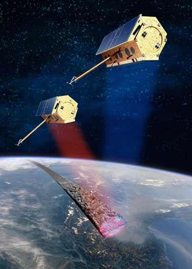
Many of these scientific satellites require very precise orbits determined using geodetic observation data. This data might be from onboard positioning systems such as GNSS or DORIS.
If a satellite is carrying a retro-reflector array target then it can be tracked by Satellite Laser Ranging (SLR). The global network of SLR stations are coordinated by the International Laser Ranging Service (ILRS) which decides which satellites should be tracked.
The main groups of satellites supported by the ILRS are: