Welcome to the NERC Space Geodesy Facility
The Space Geodesy Facility operates multiple observational techniques to make a major contribution to the formation of a highly-precise global geodetic reference frame and to support satellite missions that study the dynamic Earth.
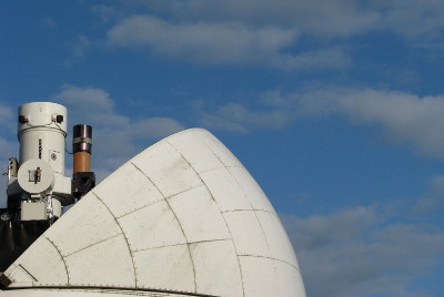
Located near to the village of Herstmonceux in East Sussex, the NERC Space Geodesy Facility (SGF) is actively supporting geodetic and geophysical science.

Find out more about Geodesy, its history and its impact on science and society by watching this online talk by Dr Graham Appleby
The SGF is part of the International Laser Ranging Service (ILRS) and International GNSS Service (IGS) networks. It is appointed by the ILRS as one of the eight ILRS Analysis Centres and was awarded by the Global Geodetic Observing System (GGOS) the status of 'New Technology SLR Site'.
The SGF is part of the 'Multi-hazards and resilience' global challenge, under Geodesy and Earth Observation, in the British Geological Survey (BGS). It is funded through 'National Capability and Public Good' by the Natural Environment Research Council (NERC) with additional funding from the Ministry of Defence.


