| |
 |
| |
|
|
GPS Analysis |
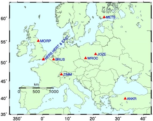
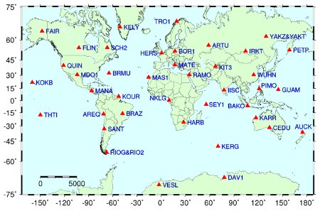
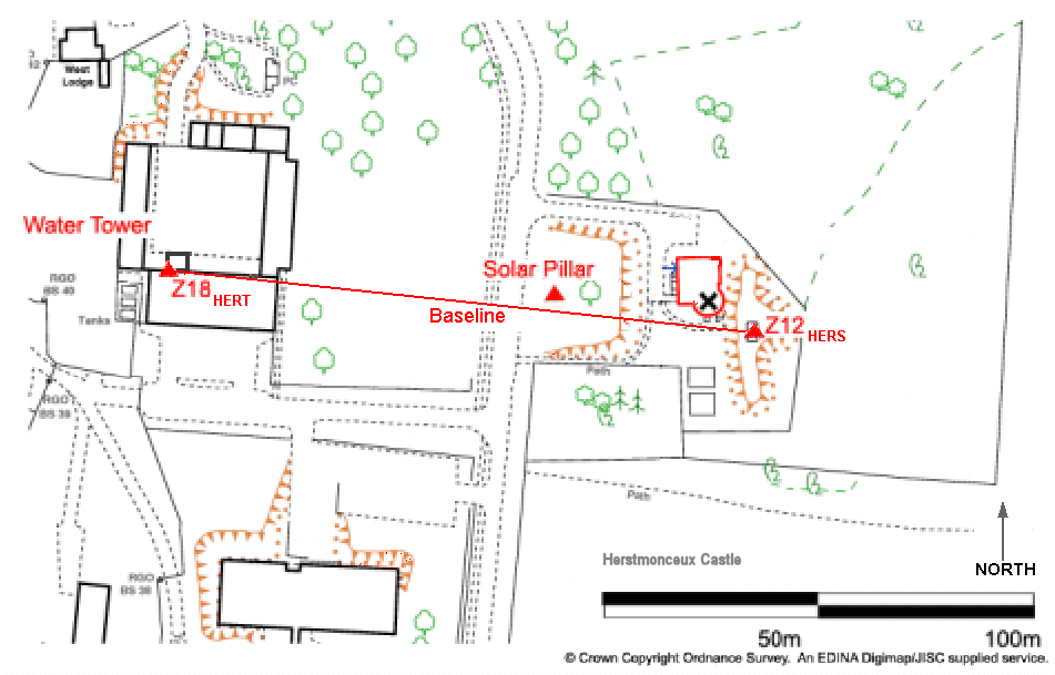
 On
site are two GNSS receivers,
HERS and HERT.
These track GPS satellites and send data daily and hourly to the International GPS
Service. HERS
is an IGS site. HERT, a joint GPS and GLONASS receiver, came online in
March 2003 and is in addition being used to take part in the EUREF-IP
pilot
programme to stream data
directly into the internet for rapid
re-broadcast for general real-time navigational applications. Using GAMIT
and GLOBK
software and IGS
satellite orbits, daily coordinates are
generated by SGF for both sites and for two networks. On
site are two GNSS receivers,
HERS and HERT.
These track GPS satellites and send data daily and hourly to the International GPS
Service. HERS
is an IGS site. HERT, a joint GPS and GLONASS receiver, came online in
March 2003 and is in addition being used to take part in the EUREF-IP
pilot
programme to stream data
directly into the internet for rapid
re-broadcast for general real-time navigational applications. Using GAMIT
and GLOBK
software and IGS
satellite orbits, daily coordinates are
generated by SGF for both sites and for two networks. |
|
|||||
|
|
||
|