|

|

|
 |
 |
|
LIDAR Experiments |

|

|

|
 |
 |
|
LIDAR Experiments |
 The
SLR laser light intensity diminishes with range due
to absorbtion and scattering in the atmosphere. The
SLR laser light intensity diminishes with range due
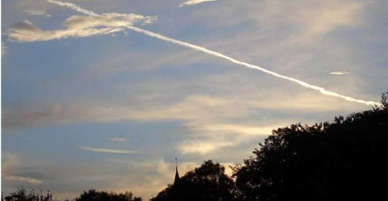
to absorbtion and scattering in the atmosphere.Variations in the density and the make-up of the atmosphere can produce different stengths of these processes. Such variations include pressure, ions, cloud cover and pollution from human activity including aeroplane vapour trails. |
|
|
|
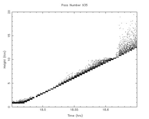
 The LIDAR capability will ultimately be run concurrently with satellite laser ranging measurements, at Herstmonceux, UK. Our interest is in monitoring atmospheric pollution, boundary layer heights and cirrus properties over the site via detection of backscattered laser photons. For preliminary testing we have developed a modified version of the laser ranging software and used the existing laser ranging hardware to detect backscatter at a range of heights of from one to 14 km vertically above the site. During experimental runs the C-SPAD detector is gated in few-hundred metre increments from close to the telescope to beyond the tropopause, and time-tagged single-photon backscatter events are detected. |
|
 Over the experimental period of a few minutes a vertical profile of atmospheric backscatter response is mapped and various layers detected. Our preliminary results suggest a haze layer can be seen at about 4-5Km above the site, followed by a further layer at 12 km, probably identified with the tropopause. |
|
| Go back to SGF main page |