|

|

|
 |
 |
|
LIDAR tracking of the ash cloud from Icelandic volcano |

|

|

|
 |
 |
|
LIDAR tracking of the ash cloud from Icelandic volcano |
 In
April
2010 an
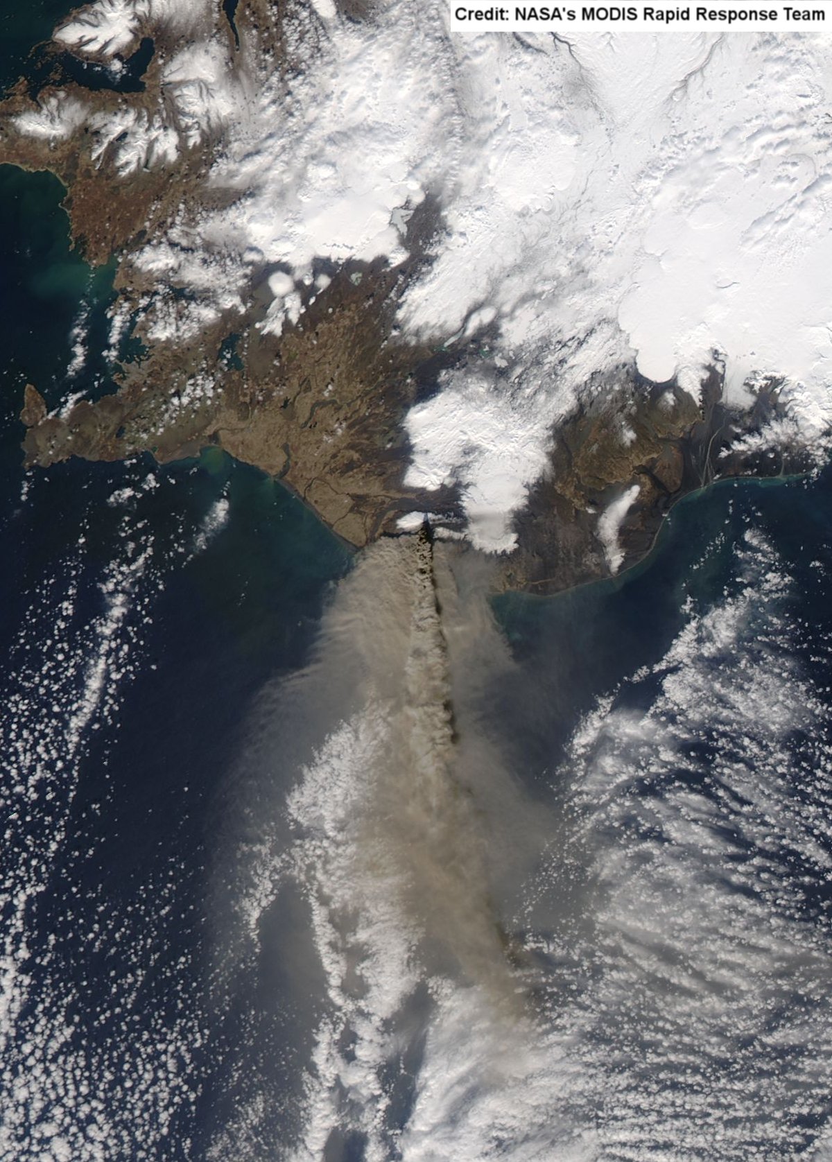
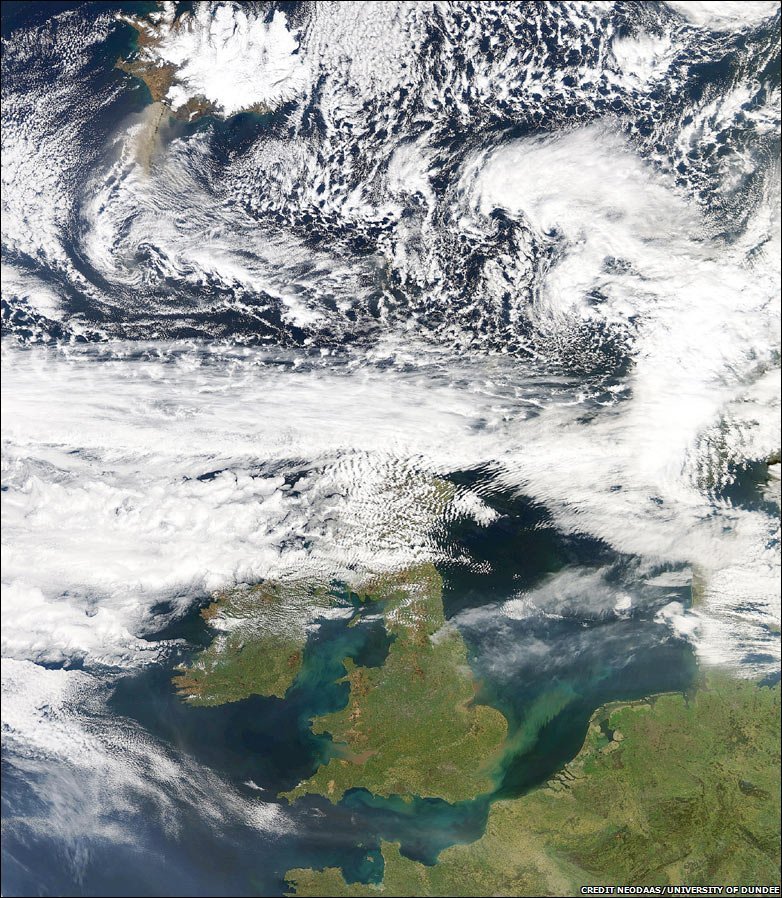
Icelandic volcano called Eyjafjallajökull erupted, sending a plume
of volcanic dust and ash up into the atmosphere over most of the
European continent. In
April
2010 an
Icelandic volcano called Eyjafjallajökull erupted, sending a plume
of volcanic dust and ash up into the atmosphere over most of the
European continent. The ash was considered to be a hazard to jet engines and the UK and European skies were closed to all such aircraft, causin  g great disruption to those
planning to travel and
who were overseas at the time. g great disruption to those
planning to travel and
who were overseas at the time.Scientists at the Space Geodesy Facility at Herstmonceux in East Sussex interrupted for short, frequent periods their busy satellite laser ranging schedules in order to use the laser in LIDAR-mode to test the transparency of the atmosphere. Height-resolved laser-backscatter intensity is used to infer the presence of haze, con-trails and other aerosols. Their results, communicated to the UK Meteorological Office in Exeter immediately after data processing, showed structured layers of aerosols at heights of 1-2 km, almost certainly associated with the ash plume; the layers were particularly intense on 18th April 2010. These observations, which are continuing, are being used by the Met Office to test their prediction models, which then inform air-traffic policy. |
|||
The NSGF
began
LIDAR
observations a day before the ash cloud was expected to arrive over
the South East of England and then routinely every hour. Many
observations showed increased backscatter due to the ash and dust
particles at variable heights and thickness.
The first two plots above show that there are reflective layers of material, most likely ash particles from the volcano, at heights of from 1.1 to 1.6km above the Earth's surface. The smooth curve (in red) that has been fitted to the data from 2-5km shows that at those heights there are no further aerosol layers. The results from April 21 in the third plot shows that all the ash has disappeared from the low-atmosphere and a clear atmosphere is apparent up to a height of 10km. |
|||
Go back to SGF main page |